
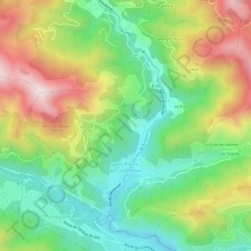
Saint-Pierre-de-Colombier topographic map
Interactive map
Click on the map to display elevation.
About this map
Name: Saint-Pierre-de-Colombier topographic map, elevation, terrain.
Average elevation: 2,034 ft
Minimum elevation: 1,191 ft
Maximum elevation: 3,284 ft