
吉崩岗街道 topographic map
Interactive map
Click on the map to display elevation.
About this map
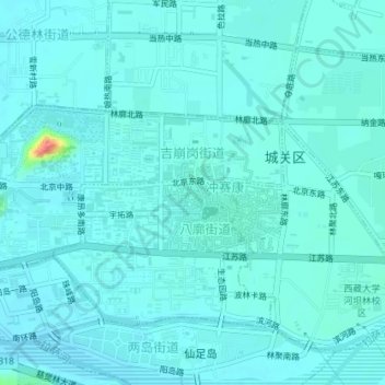
Name: 吉崩岗街道 topographic map, elevation, terrain.
Location: 吉崩岗街道, ཁྲིན་ཀོན་ཆུས་ 城关区, Lhassa, Tibet, Chine (29.64741 91.10298 29.66159 91.13870)
Average elevation: 11,995 ft
Minimum elevation: 11,969 ft
Maximum elevation: 12,195 ft