
Casais do Forno topographic map
Interactive map
Click on the map to display elevation.
About this map
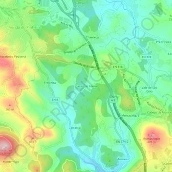
Name: Casais do Forno topographic map, elevation, terrain.
Location: Casais do Forno, Lousa, Loures, Lisboa, 2665-535, Portugal (38.88974 -9.23360 38.92974 -9.19360)
Average elevation: 804 ft
Minimum elevation: 502 ft
Maximum elevation: 1,401 ft