Geolocate

Mariotto topographic map

Click on the map to display elevation.

About this map

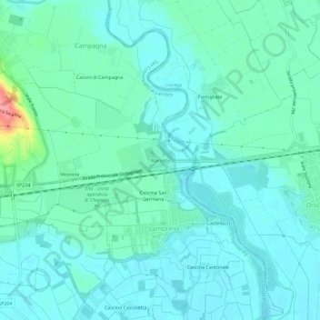
Name: Mariotto topographic map, elevation, terrain.

Location: Mariotto, San Colombano al Lambro, Milan, Lombardy, 26863, Italy (45.14586 9.50592 45.18586 9.54592)

Average elevation: 203 ft

Minimum elevation: 151 ft

Maximum elevation: 443 ft

Gear up for your next adventure:

🎒Trekking Poles - Sturdy poles for balance and stability on rough terrain
🧦Hiking Socks - Comfortable socks to prevent blisters on long hikes
🌡️Portable Weather Meter - Track weather conditions on the trail
Backpacking Tents - Weight-optimized shelters for multi-day topographic surveys
🔦Powerful Headlamps - Ultra-bright hands-free lighting for night navigation

As an Amazon Associate, this site earns from qualifying purchases at no extra cost to you.