
Rohnstedt topographic map
Interactive map
Click on the map to display elevation.
About this map
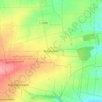
Name: Rohnstedt topographic map, elevation, terrain.
Location: Rohnstedt, Greußen, Kyffhäuserkreis, Thüringen, Deutschland (51.20551 10.82205 51.24551 10.86205)
Average elevation: 899 ft
Minimum elevation: 741 ft
Maximum elevation: 1,076 ft