
Oued Zehour topographic map
Interactive map
Click on the map to display elevation.
About this map
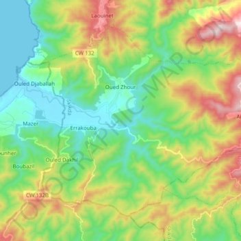
Name: Oued Zehour topographic map, elevation, terrain.
Location: Oued Zehour, Daïra Ouled Attia, Skikda, Algérie (36.86134 6.25662 36.95802 6.40913)
Average elevation: 942 ft
Minimum elevation: -3 ft
Maximum elevation: 2,805 ft