
工布江达县 topographic map
Interactive map
Click on the map to display elevation.
About this map
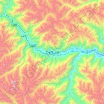
Name: 工布江达县 topographic map, elevation, terrain.
Location: 工布江达县, 工布江达镇, 工布江达县, 林芝市, 西藏自治区, 中国 (29.72839 93.08481 30.04839 93.40481)
Average elevation: 15,151 ft
Minimum elevation: 10,919 ft
Maximum elevation: 20,322 ft