
uttardug topographic map
Interactive map
Click on the map to display elevation.
About this map
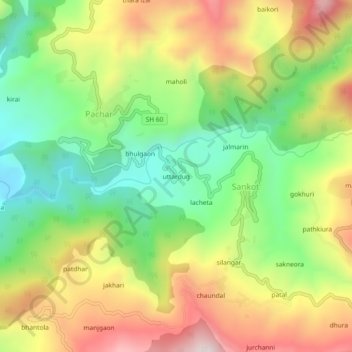
Name: uttardug topographic map, elevation, terrain.
Location: uttardug, Sankot, Kanda, Bageshwar, Uttarakhand, 263640, India (29.85983 79.95138 29.89983 79.99138)
Average elevation: 5,013 ft
Minimum elevation: 3,970 ft
Maximum elevation: 6,316 ft