
Chiastra di San Benedetto topographic map
Interactive map
Click on the map to display elevation.
About this map
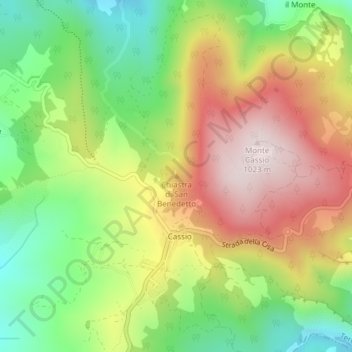
Name: Chiastra di San Benedetto topographic map, elevation, terrain.
Average elevation: 2,470 ft
Minimum elevation: 1,706 ft
Maximum elevation: 3,343 ft