
Muras topographic map
Interactive map
Click on the map to display elevation.
About this map
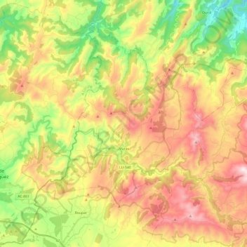
Name: Muras topographic map, elevation, terrain.
Location: Muras, Terra Chá, Lugo, Galicië, 27836, Spanje (43.41414 -7.78429 43.55694 -7.54404)
Average elevation: 1,814 ft
Minimum elevation: 502 ft
Maximum elevation: 3,264 ft