
新沭河 topographic map
Interactive map
Click on the map to display elevation.
About this map
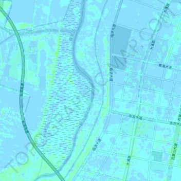
Name: 新沭河 topographic map, elevation, terrain.
Location: 新沭河, 赣榆区, 连云港市, 赣榆区, 江苏省, 中国 (34.68749 119.17939 34.74705 119.20244)
Average elevation: 3 ft
Minimum elevation: -13 ft
Maximum elevation: 26 ft
Other topographic maps
Click on a map to view its topography, its elevation and its terrain.