
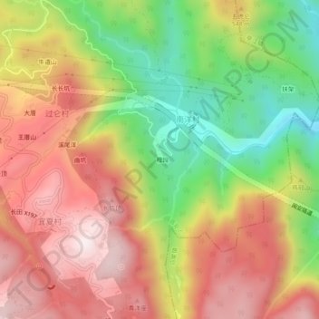
楻段 topographic map
Interactive map
Click on the map to display elevation.
About this map
Name: 楻段 topographic map, elevation, terrain.
Location: 楻段, 南洋村, 福州市, 晋安区, 福建省, 中国 (26.08436 119.38566 26.12436 119.42566)
Average elevation: 1,490 ft
Minimum elevation: 217 ft
Maximum elevation: 2,605 ft