
Perani topographic map
Interactive map
Click on the map to display elevation.
About this map
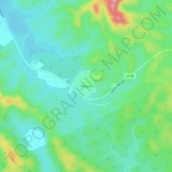
Name: Perani topographic map, elevation, terrain.
Location: Perani, Pasir Gudang, Johor, 81700, Malaysia (1.75220 103.96180 1.79220 104.00180)
Average elevation: 164 ft
Minimum elevation: 36 ft
Maximum elevation: 499 ft