
鳳凰山(鳳峰) topographic map
Interactive map
Click on the map to display elevation.
About this map
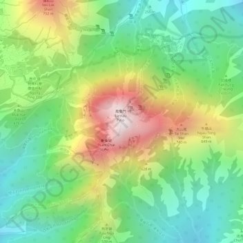
Name: 鳳凰山(鳳峰) topographic map, elevation, terrain.
Location: 鳳凰山(鳳峰), 離島區, 新界, 香港, 中国 (22.24925 113.91989 22.24935 113.91999)
Average elevation: 1,385 ft
Minimum elevation: 367 ft
Maximum elevation: 2,904 ft
Other topographic maps
Click on a map to view its topography, its elevation and its terrain.