
珲春河 topographic map
Interactive map
Click on the map to display elevation.
About this map
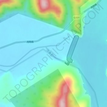
Name: 珲春河 topographic map, elevation, terrain.
Location: 珲春河, 珲春市, 延边朝鲜族自治州, 吉林省, 中国 (42.96956 130.61426 42.97311 130.62280)
Average elevation: 413 ft
Minimum elevation: 253 ft
Maximum elevation: 1,115 ft