
Gretna topographic map
Interactive map
Click on the map to display elevation.
About this map
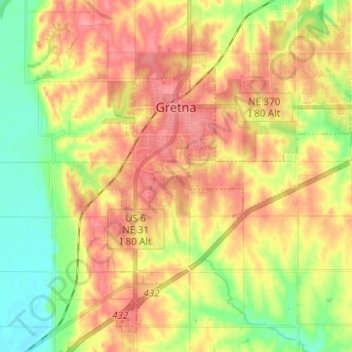
Name: Gretna topographic map, elevation, terrain.
Location: Gretna, Sarpy County, Nebraska, 68028, United States (41.08729 -96.26300 41.16951 -96.13913)
Average elevation: 1,191 ft
Minimum elevation: 1,056 ft
Maximum elevation: 1,306 ft
Sarpy County trails, hiking, mountain biking, running and outdoor activities