
Zhemgang District topographic map
Interactive map
Click on the map to display elevation.
About this map
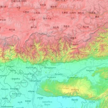
Name: Zhemgang District topographic map, elevation, terrain.
Location: Zhemgang District, Bhutan (24.61431 88.20220 29.73431 93.32220)
Average elevation: 7,549 ft
Minimum elevation: 3 ft
Maximum elevation: 27,621 ft