
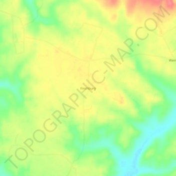
Finchburg topographic map
Interactive map
Click on the map to display elevation.
About this map
Name: Finchburg topographic map, elevation, terrain.
Location: Finchburg, Monroe County, Alabama, United States of America (31.62266 -87.53083 31.66266 -87.49083)
Average elevation: 197 ft
Minimum elevation: 79 ft
Maximum elevation: 305 ft