
la Cellera de Ter topographic map
Interactive map
Click on the map to display elevation.
About this map
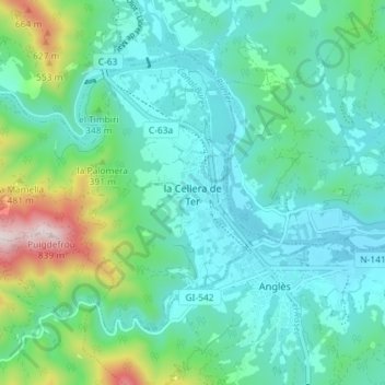
Name: la Cellera de Ter topographic map, elevation, terrain.
Location: la Cellera de Ter, Selva, Gerona, Cataluña, España (41.94956 2.56165 41.98827 2.63383)
Average elevation: 899 ft
Minimum elevation: 433 ft
Maximum elevation: 2,671 ft