
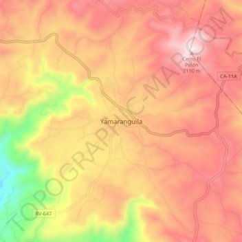
Yamaranguila topographic map
Interactive map
Click on the map to display elevation.
About this map
Name: Yamaranguila topographic map, elevation, terrain.
Location: Yamaranguila, Intibucá, Honduras (14.26243 -88.26164 14.30243 -88.22164)
Average elevation: 5,751 ft
Minimum elevation: 4,997 ft
Maximum elevation: 6,549 ft