
Varel topographic map
Interactive map
Click on the map to display elevation.
About this map
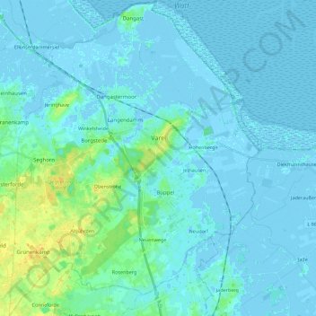
Name: Varel topographic map, elevation, terrain.
Location: Varel, Landkreis Friesland, Lower Saxony, 26316, Germany (53.32106 8.03220 53.45350 8.20775)
Average elevation: 10 ft
Minimum elevation: -13 ft
Maximum elevation: 62 ft