
Черкасское topographic map
Interactive map
Click on the map to display elevation.
About this map
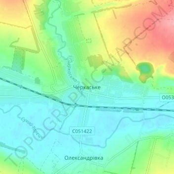
Name: Черкасское topographic map, elevation, terrain.
Average elevation: 322 ft
Minimum elevation: 226 ft
Maximum elevation: 541 ft
Other topographic maps
Click on a map to view its topography, its elevation and its terrain.
Черкаська
Украина > Донецкая область > Черкасское
Черкаська, Черкасское, Черкасская поселковая община, Краматорский район, Донецкая область, 84168, Украина
Average elevation: 272 ft