
Kochkor topographic map
Interactive map
Click on the map to display elevation.
About this map
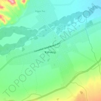
Name: Kochkor topographic map, elevation, terrain.
Location: Kochkor, Naryn Region, 722800, Kyrgyzstan (42.19365 75.72035 42.23136 75.79149)
Average elevation: 5,978 ft
Minimum elevation: 5,860 ft
Maximum elevation: 6,345 ft