
Vendée topographic map
Interactive map
Click on the map to display elevation.
About this map
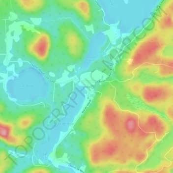
Name: Vendée topographic map, elevation, terrain.
Location: Vendée, Les Laurentides, Laurentides, Québec, Canada (46.06372 -74.85281 46.10372 -74.81281)
Average elevation: 866 ft
Minimum elevation: 709 ft
Maximum elevation: 1,145 ft