
Sierra topographic map
Interactive map
Click on the map to display elevation.
About this map
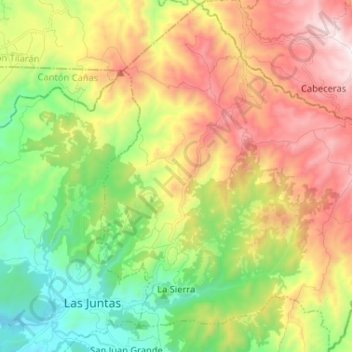
Name: Sierra topographic map, elevation, terrain.
Average elevation: 2,073 ft
Minimum elevation: 344 ft
Maximum elevation: 4,383 ft
Other topographic maps
Click on a map to view its topography, its elevation and its terrain.
Alto Cebadilla
Costa Rica > Provincia de Guanacaste > Sierra > Alto Cebadilla
Alto Cebadilla, Sierra, Cantón Abangares, Provincia de Guanacaste, 50702, Costa Rica
Average elevation: 4,157 ft