
Guiães topographic map
Interactive map
Click on the map to display elevation.
About this map
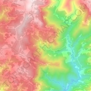
Name: Guiães topographic map, elevation, terrain.
Location: Guiães, Vila Real, Douro, Norte, Portugal (41.17969 -7.68152 41.22372 -7.63895)
Average elevation: 1,473 ft
Minimum elevation: 371 ft
Maximum elevation: 2,241 ft