Sankt Gerold topographic map
Interactive map
Click on the map to display elevation.
About this map
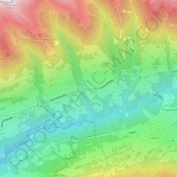
Name: Sankt Gerold topographic map, elevation, terrain.
Average elevation: 3,599 ft
Minimum elevation: 1,900 ft
Maximum elevation: 6,263 ft

Click on the map to display elevation.
Name: Sankt Gerold topographic map, elevation, terrain.
Average elevation: 3,599 ft
Minimum elevation: 1,900 ft
Maximum elevation: 6,263 ft