
Hammelburg topographic map
Interactive map
Click on the map to display elevation.
About this map
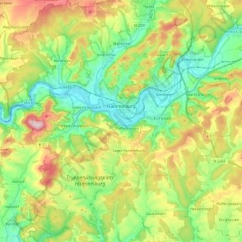
Name: Hammelburg topographic map, elevation, terrain.
Location: Hammelburg, Landkreis Bad Kissingen, Bavière, Allemagne (50.02965 9.77917 50.18320 9.96553)
Average elevation: 935 ft
Minimum elevation: 551 ft
Maximum elevation: 1,588 ft