
Laguna Purhuay topographic map
Interactive map
Click on the map to display elevation.
About this map
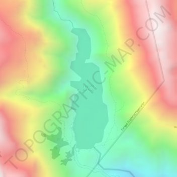
Name: Laguna Purhuay topographic map, elevation, terrain.
Location: Laguna Purhuay, Huari, Province of Huari, Ancash, Peru (-9.31418 -77.20797 -9.29564 -77.20199)
Average elevation: 12,392 ft
Minimum elevation: 10,778 ft
Maximum elevation: 14,039 ft
Other topographic maps
Click on a map to view its topography, its elevation and its terrain.