
Digsa topographic map
Interactive map
Click on the map to display elevation.
About this map
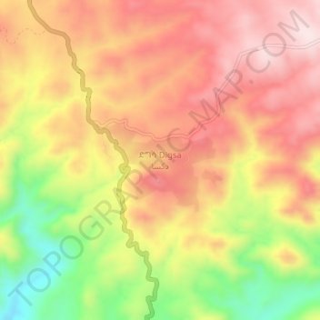
Name: Digsa topographic map, elevation, terrain.
Location: Digsa, Debub Region, Eritrea (14.96901 39.20690 15.00901 39.24690)
Average elevation: 6,900 ft
Minimum elevation: 6,106 ft
Maximum elevation: 7,448 ft