
Kapland Land/Teak Sherman Park topographic map
Interactive map
Click on the map to display elevation.
About this map
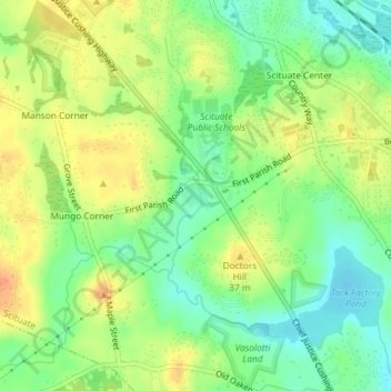
Name: Kapland Land/Teak Sherman Park topographic map, elevation, terrain.
Average elevation: 95 ft
Minimum elevation: 30 ft
Maximum elevation: 161 ft