
Axamer Lizum topographic map
Interactive map
Click on the map to display elevation.
About this map
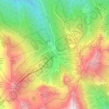
Name: Axamer Lizum topographic map, elevation, terrain.
Location: Axamer Lizum, Innsbruck-Land, Tirol, 6092, Österreich (47.17438 11.28302 47.21438 11.32302)
Average elevation: 6,096 ft
Minimum elevation: 3,980 ft
Maximum elevation: 8,245 ft