
Hume topographic map
Interactive map
Click on the map to display elevation.
About this map
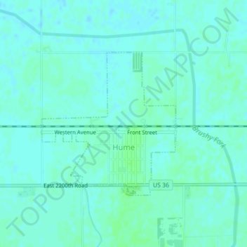
Name: Hume topographic map, elevation, terrain.
Location: Hume, Edgar County, Illinois, États-Unis d'Amérique (39.79143 -87.88029 39.80711 -87.86122)
Average elevation: 653 ft
Minimum elevation: 643 ft
Maximum elevation: 666 ft