
Casas topographic map
Interactive map
Click on the map to display elevation.
About this map
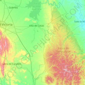
Name: Casas topographic map, elevation, terrain.
Location: Casas, Tamaulipas, México (23.09038 -99.04128 23.99678 -98.20985)
Average elevation: 1,125 ft
Minimum elevation: 7 ft
Maximum elevation: 4,715 ft