
Al `Anbar topographic map
Interactive map
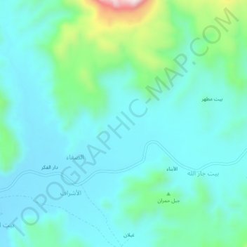
Click on the map to display elevation.
About this map
Name: Al `Anbar topographic map, elevation, terrain.
Location: Al `Anbar, Bani Hoshaish District, Sana'a Governorate, Yemen (15.48500 44.37138 15.52500 44.41138)
Average elevation: 7,648 ft
Minimum elevation: 7,362 ft
Maximum elevation: 8,904 ft