
Parque Lineal 'La Mora' topographic map
Interactive map
Click on the map to display elevation.
About this map
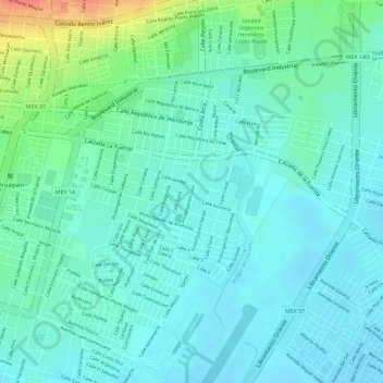
Name: Parque Lineal 'La Mora' topographic map, elevation, terrain.
Location: Parque Lineal 'La Mora', Uruapan, Michoacán, México (19.41144 -102.03820 19.41612 -102.03668)
Average elevation: 5,292 ft
Minimum elevation: 5,246 ft
Maximum elevation: 5,430 ft
Other topographic maps
Click on a map to view its topography, its elevation and its terrain.
Parque Lineal Colonia La Tamacua
México > Michoacán > Uruapan > Uruapan
Parque Lineal Colonia La Tamacua, Uruapan, Michoacán, México
Average elevation: 5,338 ft