
Moita topographic map
Interactive map
Click on the map to display elevation.
About this map
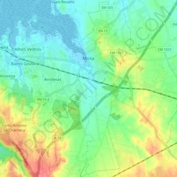
Name: Moita topographic map, elevation, terrain.
Location: Moita, MTA, Setúbal, Península de Setúbal, Lisbonne, Portugal (38.60494 -8.99870 38.67570 -8.94481)
Average elevation: 75 ft
Minimum elevation: -13 ft
Maximum elevation: 220 ft