
Pantu topographic map
Interactive map
Click on the map to display elevation.
About this map
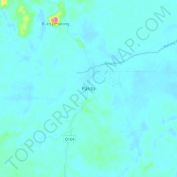
Name: Pantu topographic map, elevation, terrain.
Location: Pantu, Sri Aman, Sri Aman Division, Sarawak, Malaysia (1.10138 111.07839 1.18138 111.15839)
Average elevation: 33 ft
Minimum elevation: 3 ft
Maximum elevation: 344 ft
Other topographic maps
Click on a map to view its topography, its elevation and its terrain.
Batu Lintang
Batu Lintang, Sri Aman, Sri Aman Division, Sarawak, Malaysia
Average elevation: 381 ft