
Falah topographic map
Interactive map
Click on the map to display elevation.
About this map
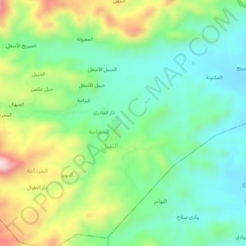
Name: Falah topographic map, elevation, terrain.
Location: Falah, Ta'izz Governorate, Yemen (13.52331 44.09067 13.56331 44.13067)
Average elevation: 4,646 ft
Minimum elevation: 4,157 ft
Maximum elevation: 5,627 ft