
IVIC topographic map
Interactive map
Click on the map to display elevation.
About this map
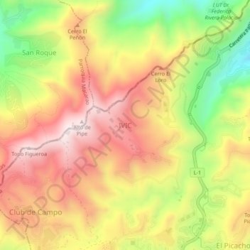
Name: IVIC topographic map, elevation, terrain.
Location: IVIC, Municipio Los Salias, Estado Miranda, 1204, Venezuela (10.37771 -66.99624 10.41771 -66.95624)
Average elevation: 4,731 ft
Minimum elevation: 3,560 ft
Maximum elevation: 5,669 ft