
Sidi Embarek topographic map
Interactive map
Click on the map to display elevation.
About this map
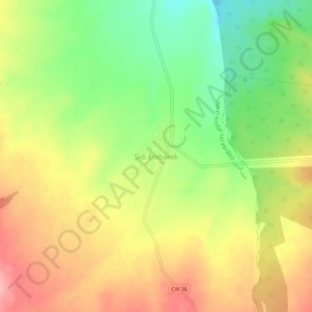
Name: Sidi Embarek topographic map, elevation, terrain.
Location: Sidi Embarek, daïra Aïn El Hadjar, Saïda, RADP (34.69365 -0.09377 34.73365 -0.05377)
Average elevation: 3,264 ft
Minimum elevation: 3,045 ft
Maximum elevation: 3,478 ft