
Çal dağı topographic map
Interactive map
Click on the map to display elevation.
About this map
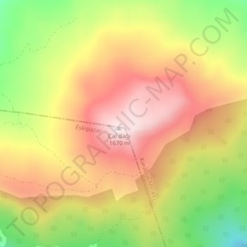
Name: Çal dağı topographic map, elevation, terrain.
Location: Çal dağı, Karabük, Merkez, Karabük, Black Sea Region, Turkey (41.05075 32.55598 41.05085 32.55608)
Average elevation: 4,803 ft
Minimum elevation: 3,917 ft
Maximum elevation: 5,502 ft