
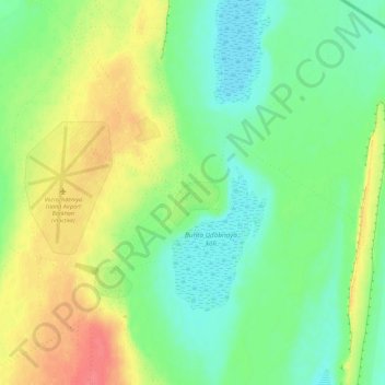
Kantubek topographic map
Interactive map
Click on the map to display elevation.
About this map
Name: Kantubek topographic map, elevation, terrain.
Location: Kantubek, Moynoq Tumani, Republik Karakalpakistan, Usbekistan (45.11481 59.29484 45.19481 59.37484)
Average elevation: 180 ft
Minimum elevation: 108 ft
Maximum elevation: 292 ft