
Caldas topographic map
Interactive map
Click on the map to display elevation.
About this map
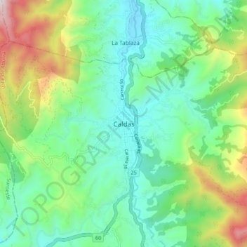
Name: Caldas topographic map, elevation, terrain.
Location: Caldas, Valle de Aburrá, Antioquia, Colombia (6.05186 -75.67569 6.13186 -75.59569)
Average elevation: 6,588 ft
Minimum elevation: 5,531 ft
Maximum elevation: 9,206 ft