
Sohrau topographic map
Interactive map
Click on the map to display elevation.
About this map
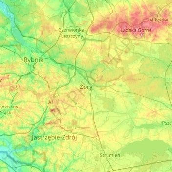
Name: Sohrau topographic map, elevation, terrain.
Location: Sohrau, Woiwodschaft Schlesien, 44-240, Polen (49.88550 18.53435 50.20550 18.85435)
Average elevation: 856 ft
Minimum elevation: 653 ft
Maximum elevation: 1,257 ft