
Valle de Trápaga topographic map
Interactive map
Click on the map to display elevation.
About this map
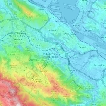
Name: Valle de Trápaga topographic map, elevation, terrain.
Location: Valle de Trápaga, Andraka, Vizcaya, País Vasco, 48510, España (43.26475 -3.07793 43.34475 -2.99793)
Average elevation: 538 ft
Minimum elevation: -10 ft
Maximum elevation: 2,523 ft