
Otero topographic map
Interactive map
Click on the map to display elevation.
About this map
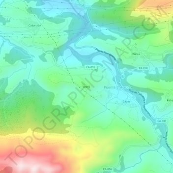
Name: Otero topographic map, elevation, terrain.
Location: Otero, Herrerías, Saja-Nansa, Cantabria, 39550, España (43.28738 -4.50120 43.32738 -4.46120)
Average elevation: 669 ft
Minimum elevation: 135 ft
Maximum elevation: 2,031 ft