
Covides topographic map
Interactive map
Click on the map to display elevation.
About this map
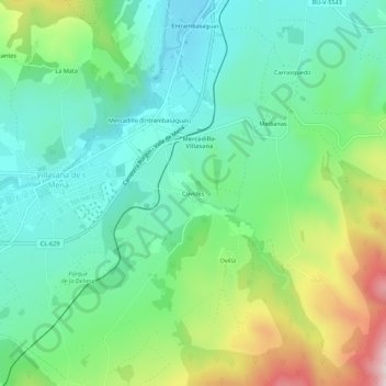
Name: Covides topographic map, elevation, terrain.
Location: Covides, Valle de Mena, Burgos, Castilla y León, 09586, España (43.07904 -3.28383 43.11904 -3.24383)
Average elevation: 1,368 ft
Minimum elevation: 912 ft
Maximum elevation: 2,428 ft