
陈屋港 topographic map
Interactive map
Click on the map to display elevation.
About this map
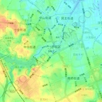
Name: 陈屋港 topographic map, elevation, terrain.
Location: 陈屋港, 南桥街道, 湛江市, 广东省, 524000, 中国 (21.24687 110.34002 21.28687 110.38002)
Average elevation: 66 ft
Minimum elevation: -10 ft
Maximum elevation: 157 ft