
Lane topographic map
Interactive map
Click on the map to display elevation.
About this map
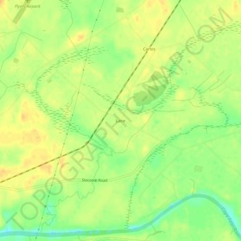
Name: Lane topographic map, elevation, terrain.
Average elevation: 108 ft
Minimum elevation: 49 ft
Maximum elevation: 144 ft
Other topographic maps
Click on a map to view its topography, its elevation and its terrain.
Bluesprings Woods
Vereinigte Staaten von Amerika > Nord-Carolina > Cumberland County > Fayetteville
Bluesprings Woods, Fayetteville, Cumberland County, Nord-Carolina, 28304, Vereinigte Staaten von Amerika
Average elevation: 194 ft